Wild Atlantic Way South - Cork, Kerry and Clare by MotorhomeCork, Kerry and Clare by Motorhome
Take this trip by motorhome
Save €400–€800 on average vs. a travel agency
Duration
x daysDistance
690 km
stops
11
Choose a date and duration that fits your preferences
About this route
Highlights
- ✦From Cork along five peninsulas to the Burren
- ✦Healy Pass and Moll's Gap, two of Ireland's finest mountain roads
- ✦Ring of Kerry anticlockwise, with the Skelligs on the horizon
- ✦Two nights in Dingle for the Slea Head Drive and the pubs
- ✦Across the Shannon estuary by ferry into Clare
- ✦Loop Head, a lighthouse at the end of the world
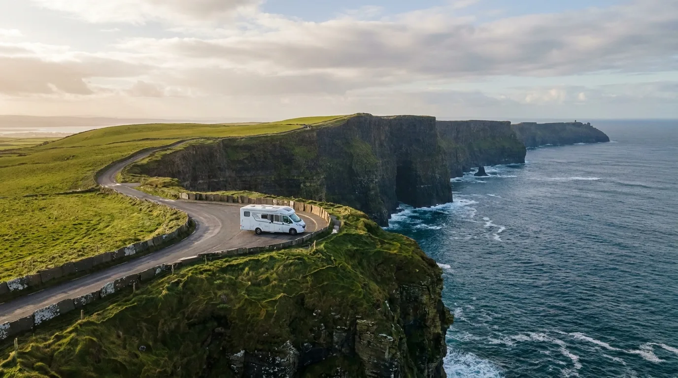
- ✦Cliffs of Moher in evening light, after the coaches have gone
- ✦The Burren limestone plateau and its orchids
The route
Stop 1
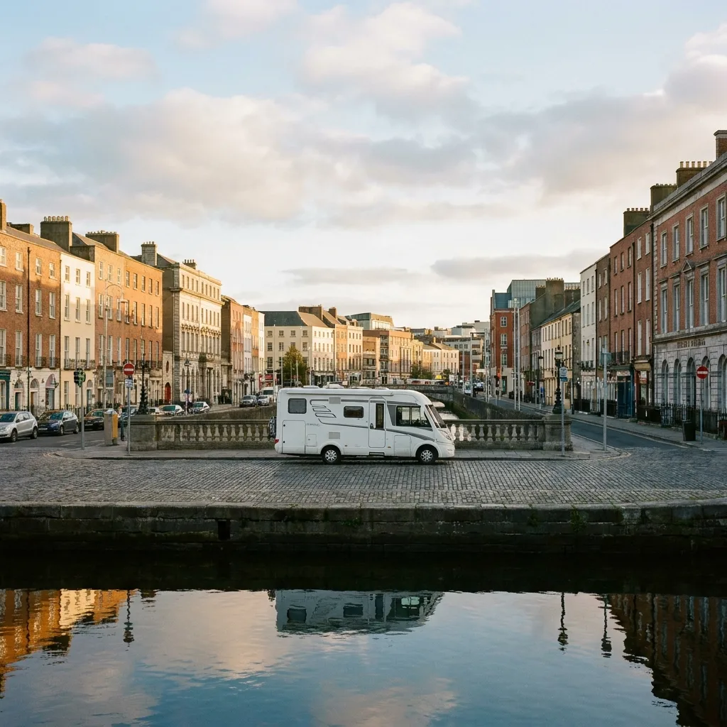
Cork
Cork is a city to explore on foot: the English Market for cheese, bread, and smoked salmon, the Shandon bell tower where you can ring the bells yourself, and the pubs around Oliver Plunkett Street. Leave the motorhome outside the city centre; the Lee river system makes the inner city cramped and one-way traffic is the norm. Those arriving by ferry in Ringaskiddy will be in the city within half an hour.
Stop 2
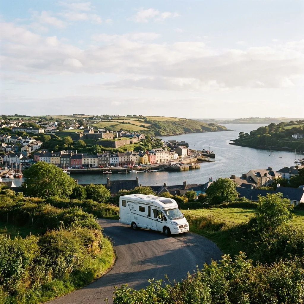
Kinsale
Kinsale is the official starting point of the Wild Atlantic Way and immediately feels different from Cork: colourful facades, yachts in the harbour, and more restaurants per inhabitant than anywhere else in Ireland. Walk the Scilly Walk to Charles Fort, a star-shaped 17th-century fort with views over the mouth of the Bandon. The motorhome won't fit in the narrow streets of the centre; park on the outskirts near the harbour.
Stop 3
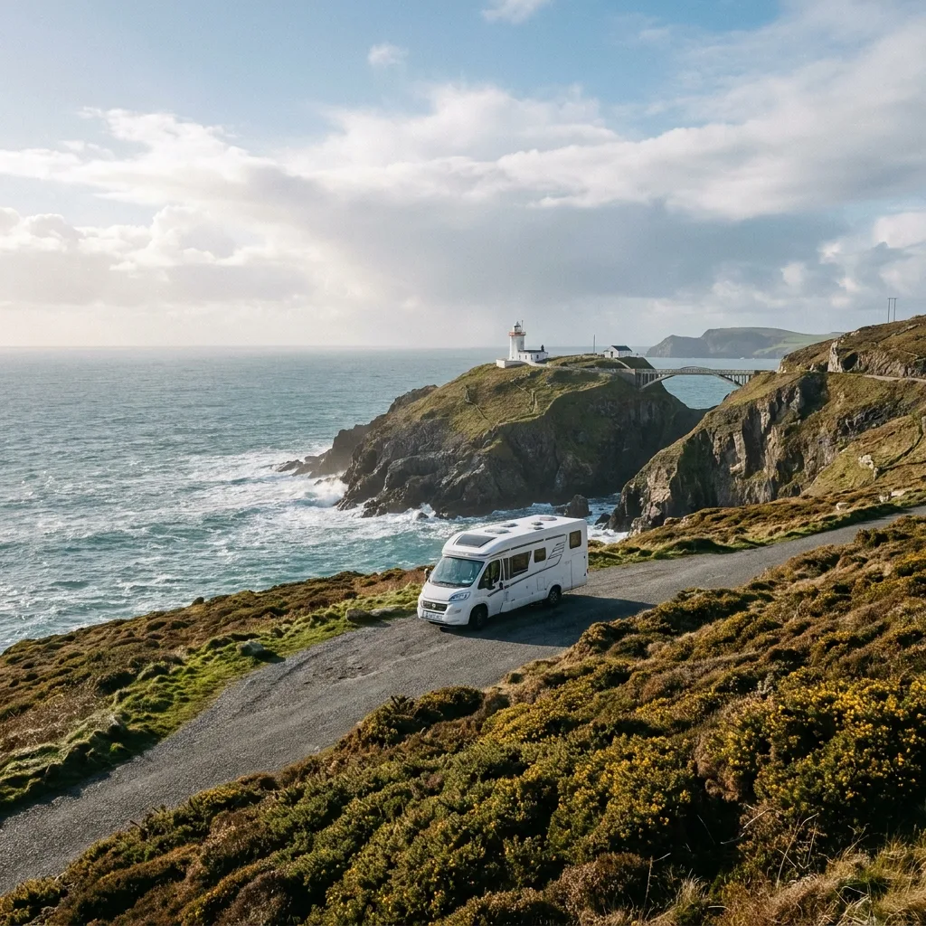
Mizen Head
Mizen Head is the southwesternmost point of Ireland. From the visitor centre, you walk across an arch bridge over a chasm to the signal station, with the surf below you and, with a bit of luck, grey seals on the rocks. Schull is the village for an overnight stay: a sheltered harbour, a good bakery, and a Sunday market. The road from Skibbereen gets progressively narrower towards the headland, so don't let yourself be rushed.
Stop 4
Beara Peninsula
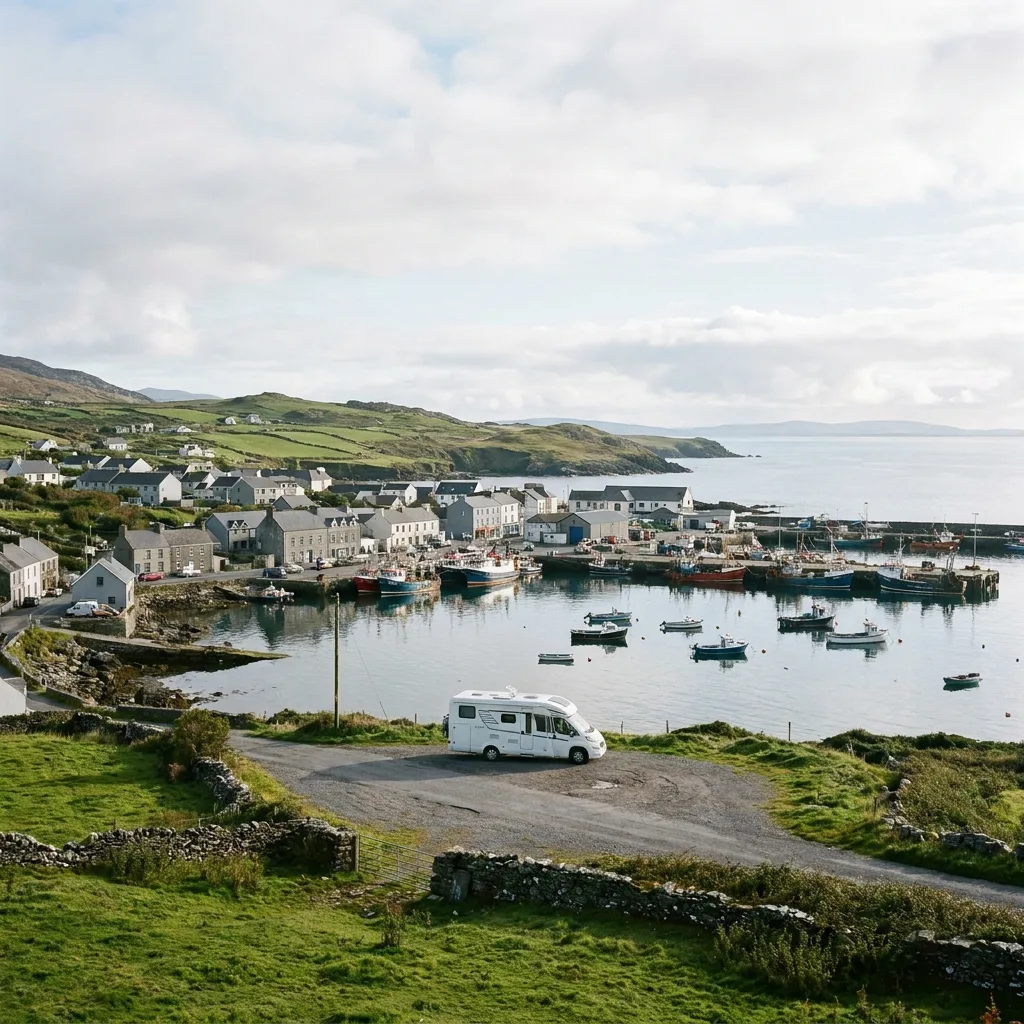
Beara is the peninsula that coaches skip. Castletownbere is a real fishing port, with trawlers at the quay and McCarthy's Bar where the grocery store is still inside the pub. Dursey Island with its cable car is a half-hour drive away; the cable car itself does not take motorhomes, only people and sheep. The coastal road R572 along the south side is easily manageable; the Healy Pass over the mountain ridge to Kenmare is spectacular but narrow, with hairpin bends.
Stop 5
Kenmare
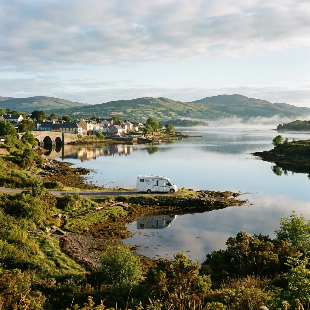
Kenmare surprises with its charming triangular street plan and the prehistoric Kenmare Stone Circle, within walking distance of the center. From Reenagross Park, you can enjoy a relaxing view over Kenmare Bay. The scenic N71, winding through the landscape via Moll's Gap and Ladies View, offers spectacular vistas over the lakes of Killarney National Park. This neat town also boasts good restaurants and a lively atmosphere, with pleasant squares for relaxation.
Want to actually take this trip?
We put together the complete package for you — motorhome, ferry, campsites — in one personal email.
Stop 6
Killarney National Park
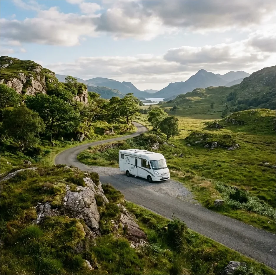
Killarney National Park is the reason everyone comes to Kerry: three lakes, ancient oak forests, the waterfalls of Torc, and deer grazing in the Muckross meadows in the morning. You do the Gap of Dunloe on foot or by bike, as the narrow road through the gorge is not suitable for a motorhome. Drive the Ring of Kerry counter-clockwise, in the same direction as the tour buses; the opposite direction causes problems on narrow sections.
Stop 7
Skellig Coast
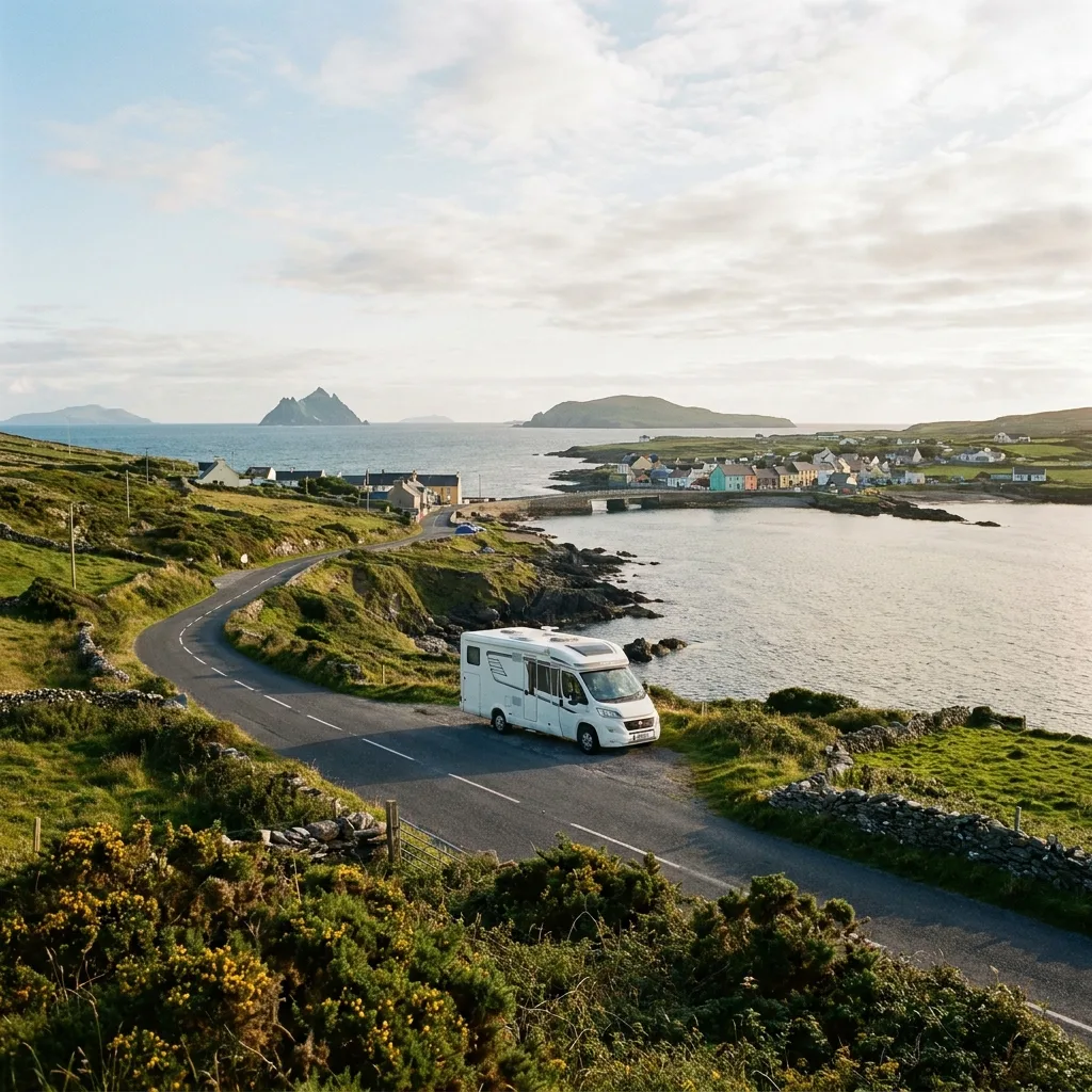
Portmagee is the fishing village from which boats depart for Skellig Michael, the rock monastery far out at sea that you know from Star Wars. A landing on the island must be booked months in advance; a boat trip around it can often be arranged on the day itself and offers a close-up view of the gannets of Little Skellig. The Skellig Ring, the loop via Ballinskelligs and the Coomanaspig Pass, is too narrow for tour buses and therefore quiet. Above 2.5 metres wide, the pass becomes tight.
Stop 8
Dingle Peninsula
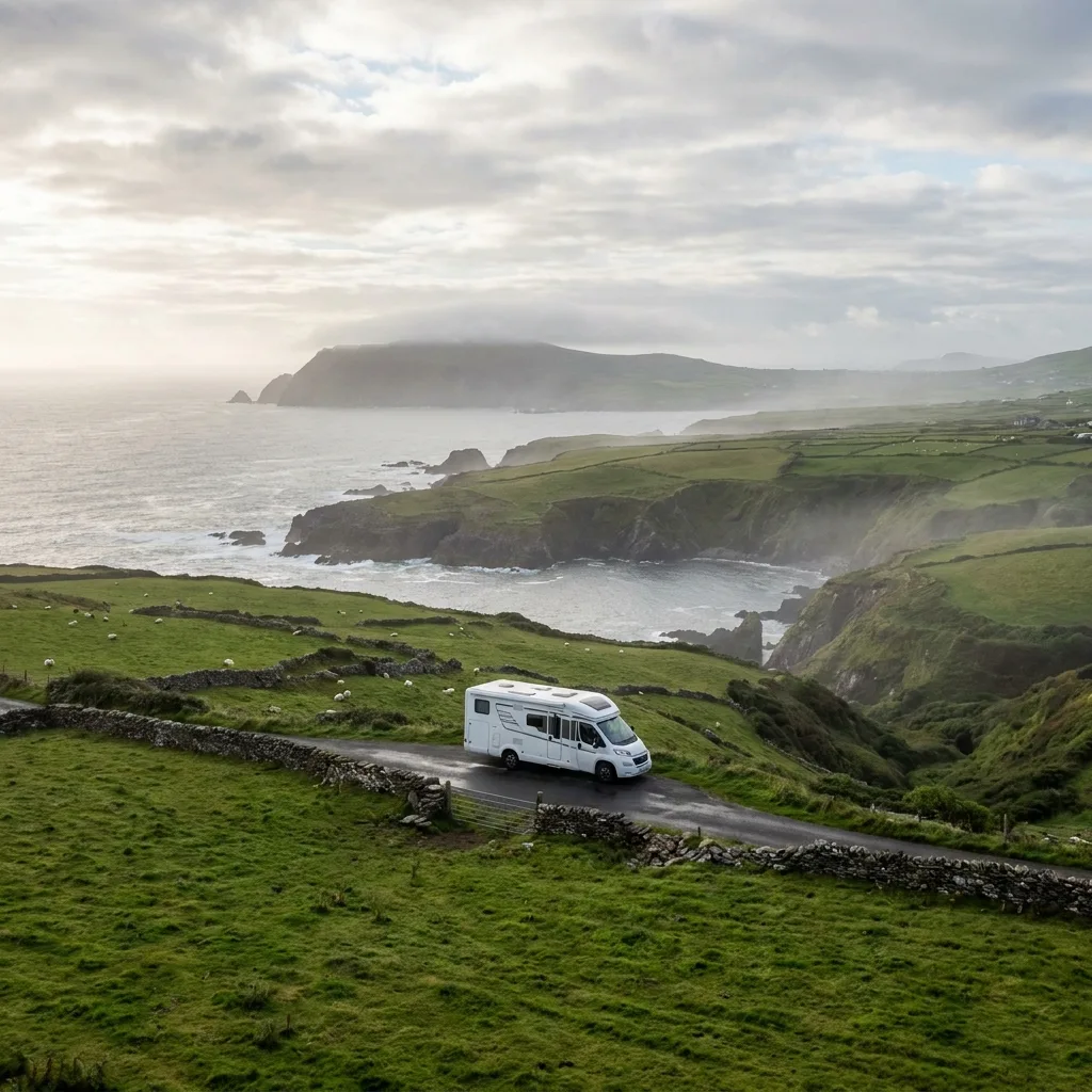
Dingle is the peninsula where Irish is still the main language and where the Slea Head Drive is the most beautiful coastal road in the country. Drive it clockwise, as indicated by the signs; oncoming traffic can be a problem on the narrow sections along the cliffs. Along the road are the beehive huts of Fahan, Coumeenoole beach, and views of the Blaskets. Dingle town has more pubs than streets, live music every evening, and a good motorhome pitch at the harbour.
Stop 9
Loop Head
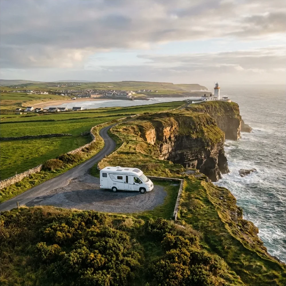
Loop Head juts out into the Atlantic Ocean as a narrow headland, with cliffs rising straight out of the water on three sides. The 1854 lighthouse stands at the very tip and can be climbed in summer. From the cliff path, you can regularly spot dolphins and porpoises in the Shannon Estuary. Slightly further north are the Bridges of Ross, natural rock arches carved out by the surf. It's quieter here than at the Cliffs of Moher further along.
Stop 10
Cliffs of Moher
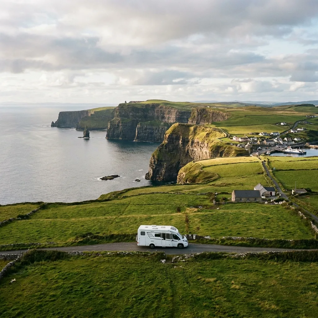
The Cliffs of Moher are busy during the day, so turn it around: stay at the campsite in Doolin in the afternoon, walk the coastal path to the cliffs and return when the visitor centre car park empties. In the evening light, you'll have the two-hundred-metre-high cliffs and the puffins almost to yourself. Doolin itself is the village for traditional music: three pubs, sessions every evening, and boats to the Aran Islands depart from the pier.
Stop 11
The Burren
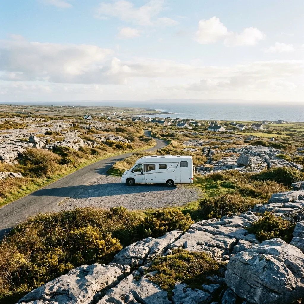
The Burren is a treeless limestone plateau where orchids and alpine plants grow side by side in the crevices between the stones. Drive the coastal road from Doolin via Fanore to Ballyvaughan, stop at the Poulnabrone dolmen and Caherconnell Fort, and walk along the coast at Black Head. Ballyvaughan is a small village with a good pub and a small harbour on Galway Bay; Galway and the N18 to Shannon and Limerick are within an hour.
Ready to hit the road?
We'll email you a personal travel proposal within 24 hours — motorhome, route and full cost overview included. Save €400–€800 on average vs. a travel agency.
No packages, no middlemen. Learn how it works
Camproads gave me a lot of inspiration for our campervan trip. The routes are beautiful, with a good balance of nature and city life, and the route generator made planning super easy. It's also really handy that there are so many good camping options at the locations, and that you can easily find the campervan that suits your needs and compare prices. This way, we can plan everything ourselves and book the campervan directly with the rental company. That's much cheaper than an organized trip!
Michiel van de Bunt
February 2026
What a difference from how I used to plan trips. Through Camproads, I put together a complete campervan trip in just a few minutes. It's so easy to use, and you can customize everything to your liking. The ability to choose your travel pace makes it even more enjoyable, especially now that we're traveling with a baby for the first time.
Alieke Zelhorst
February 2026