Vildmarksvägen and Swedish Lapland - High Coast, Stekenjokk and Jokkmokk by MotorhomeHigh Coast, Stekenjokk and Jokkmokk by Motorhome
The complete Sweden camper guide
Routes planned out day by day, with campsites and our honest tips. Instant PDF download.
€14.95
Instant download · NL, EN & DE
€14.95
Instant download · NL, EN & DE
Duration
x daysDistance
1893 km
stops
12
Choose a date and duration that fits your preferences
About this route
Highlights
- ✦The Höga Kusten with the suspension bridge and the cliffs of Skuleskogen
- ✦The Vildmarksvägen over the barren Stekenjokk plateau
- ✦Storforsen: Europe's largest free-flowing rapids
- ✦Jokkmokk with the Sami museum Ájtte, just above the Arctic Circle
- ✦Kvikkjokk as the gateway to the Sarek wilderness
- ✦The waterfalls Trappstegsforsen and Hällingsåfallet
- ✦Gällivare and the iron ore mine of Malmberget
- ✦Reindeer, moose, and midnight sun on empty roads
The route

Stop 1
Höga Kusten
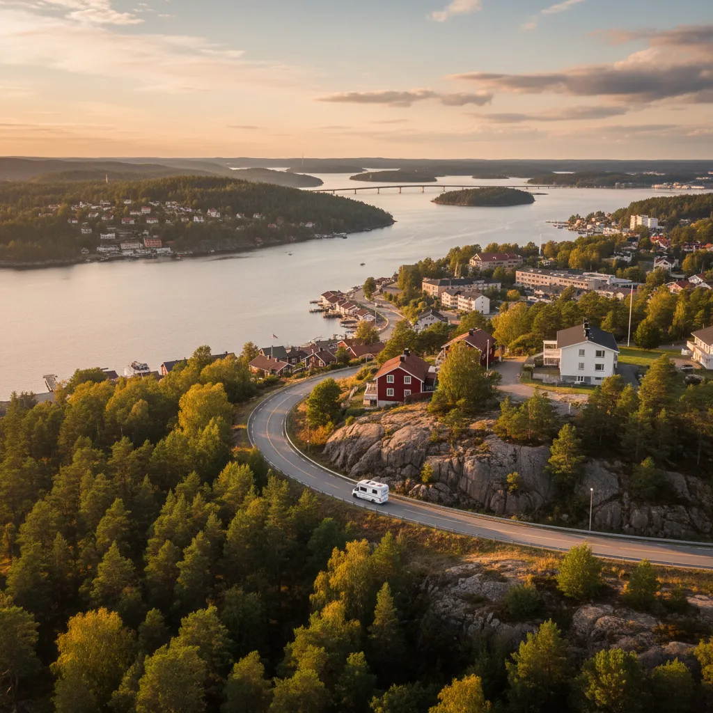
The Höga Kusten (High Coast) is the result of the fastest land uplift in the world: since the ice cap melted, the land here has risen eight hundred meters, and it continues to do so by almost a centimetre per year. The result is on the UNESCO list: forested hills that drop steeply into the sea, ancient beach ridges high on the slopes, and fishing villages in the bays. The suspension bridge over the Ångermanälven, the view from Skuleberget with its via ferrata, and the red fishing cottages of Norrfällsviken and Bönhamn are close to each other. The campsites are located on the coast near Docksta and Ullånger.
Stop 2
Örnsköldsvik
Örnsköldsvik is the industrial town on the northern side of the Höga Kusten, with a harbor, a ski jump in the middle of the center, and the cable car to Varvsberget for views over the archipelago. It is primarily the place to refuel, do groceries, and have the gas bottle filled before the inland begins. The campsite is located by the bay; the Kulturfabriken museum in the old paper factory is worth a visit when it rains.
Stop 3
Lycksele
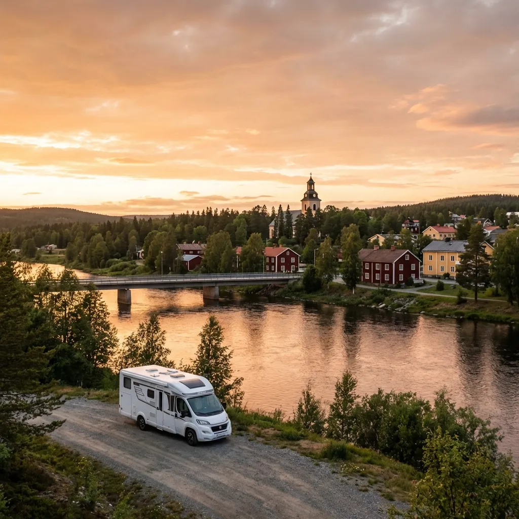
Lycksele is the oldest town in Lapland and the point where the road turns inland: here stood the first church and the first school for Sami children, giving the village a loaded history that the Gammplatsen museum does not conceal. Lycksele Djurpark zoo displays bears, wolves, wolverines, and moose in large forest enclosures, the only place where you are sure to see the animals of this landscape. The campsite is located on the Umeälven, on the outskirts of the village.
Stop 4
Arvidsjaur
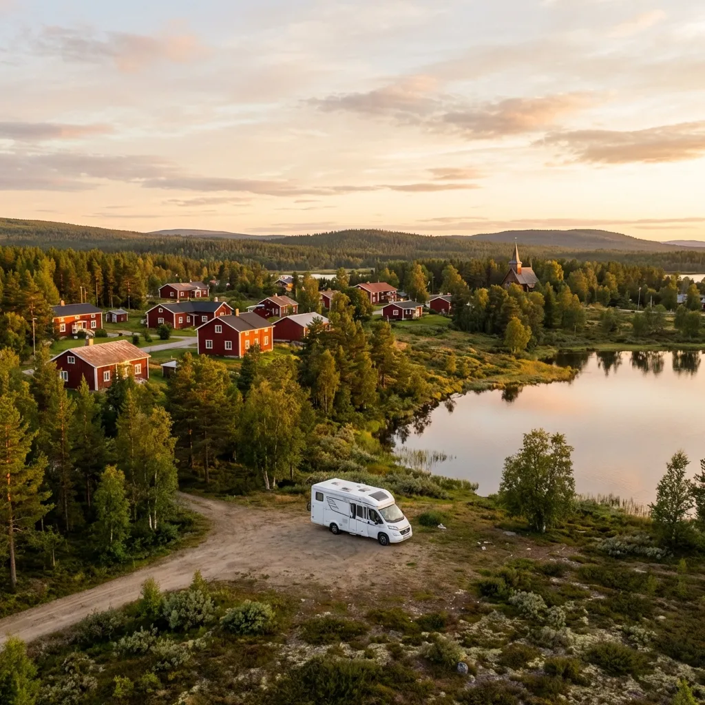
Arvidsjaur showcases Lappstaden, a complete Sami church village with eighty wooden huts from the eighteenth century. In summer, a steam train runs on the narrow-gauge railway to Slagnäs, a picturesque journey. Here you experience the midnight sun, and in winter, you can do ice driving tests. The historic Silvervägen runs through the area, full of stories from the past. The quiet village is a serene place from which to explore the vast wilderness of Swedish Lapland.
Stop 5
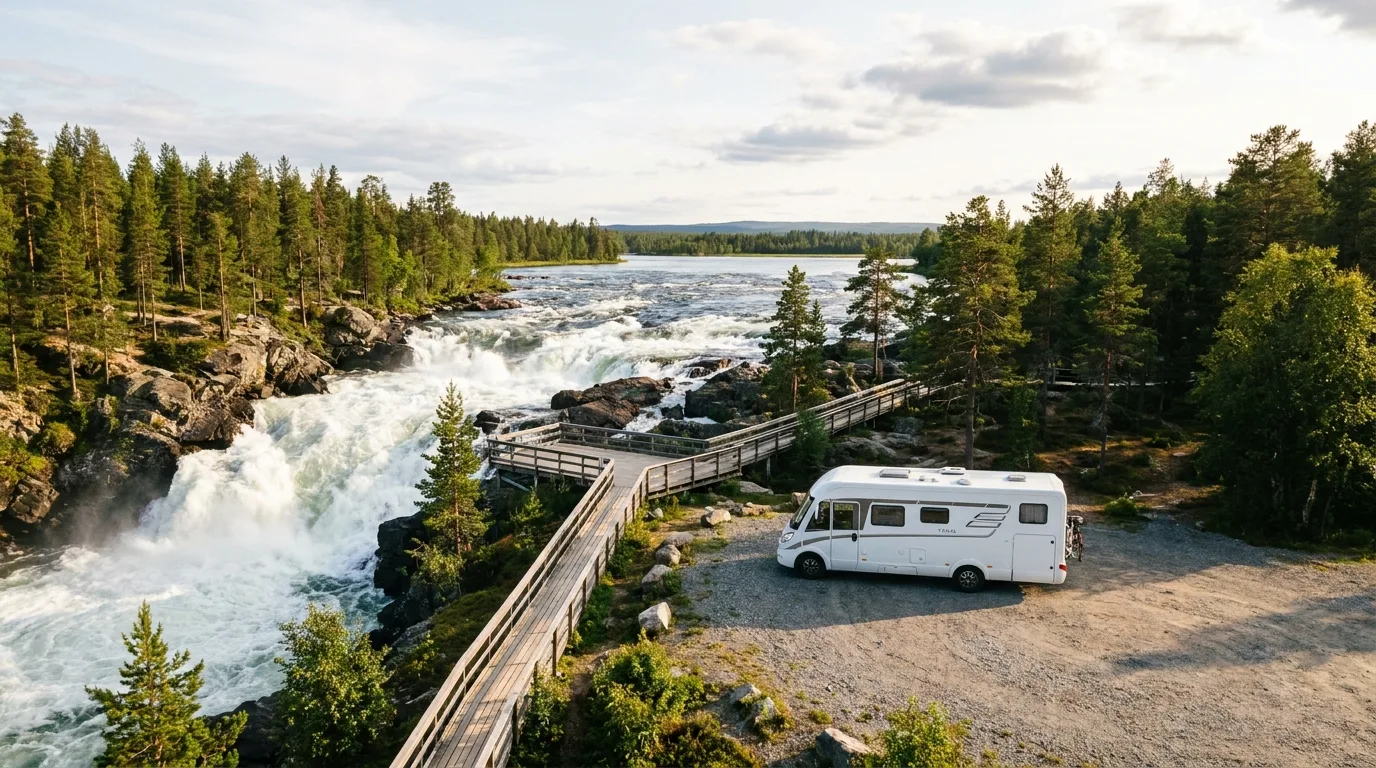
Storforsen
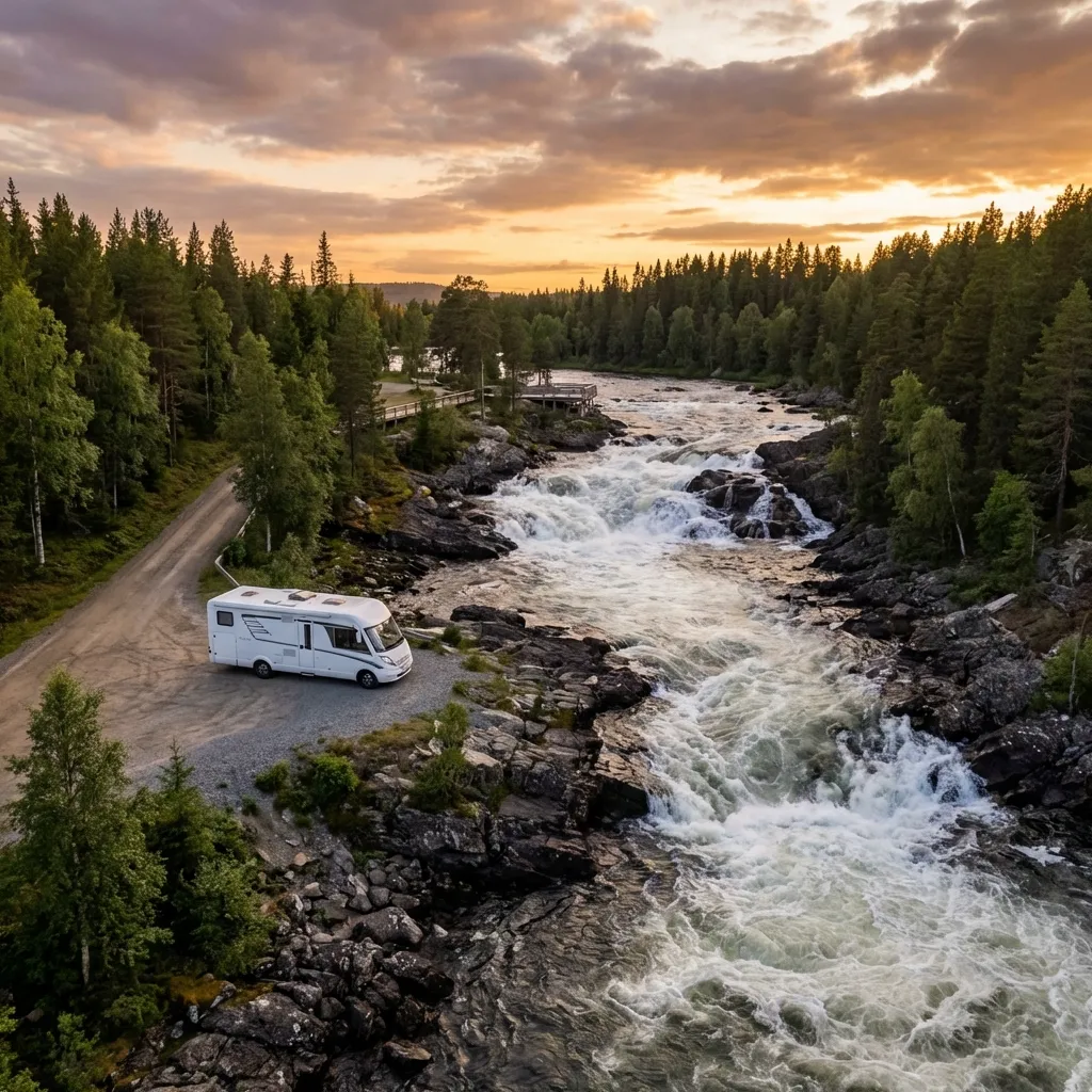
Storforsen is Europe's largest free-flowing rapids: over five kilometers, the Piteälven drops eighty meters, with eight hundred cubic meters of water per second during the melt season. Along the bank runs a wooden path with platforms above the water, and next to the falls is a dry side channel full of worn-out giant's kettles where you can walk among the rocks. The forest museum next door is about the loggers who guided logs through here. The campsite is located in the forest near the waterfalls.
Stop 6
Gällivare
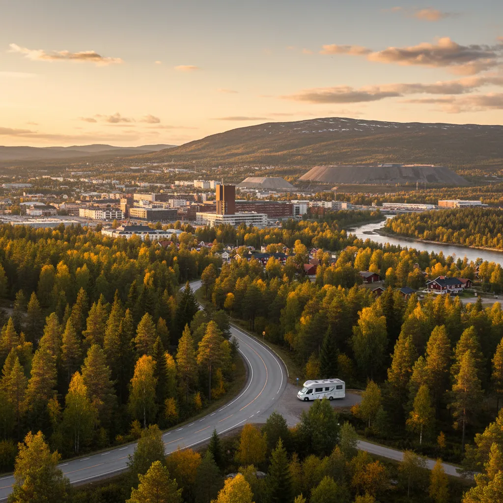
Gällivare is located against the Dundret mountain and thrives on iron ore: in the neighboring village of Malmberget, the ground disappeared so far beneath the houses that the entire village is being relocated, house by house, to Gällivare. The mine tour goes hundreds of meters into the mountain. From the top of Dundret, on a clear day, you can see the midnight sun and in winter the northern lights; the road to the top is paved and manageable with a motorhome. The campsite is located at the foot of the mountain.
Want to actually take this trip?
We put together the complete package for you — motorhome, ferry, campsites — in one personal email.

Stop 7
Jokkmokk
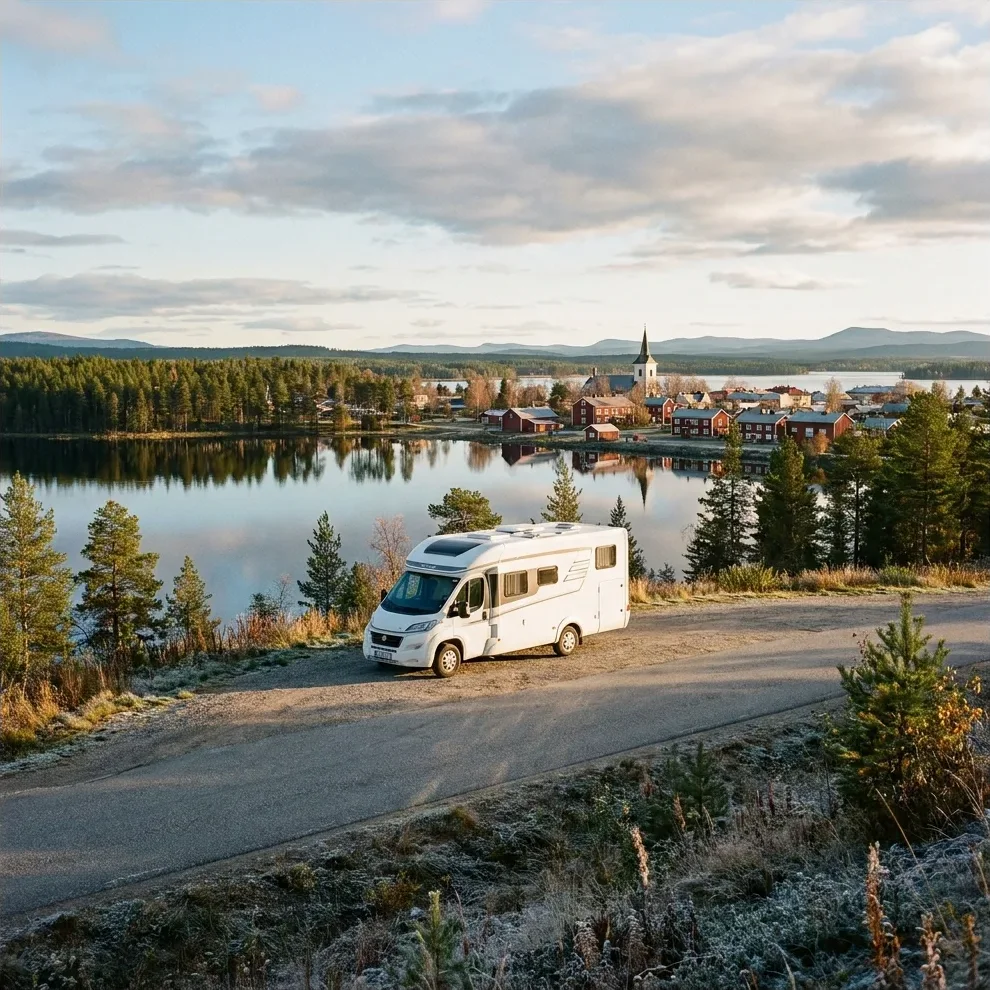
Jokkmokk is located on the Arctic Circle and is the cultural heart of Sápmi: the Ájtte Museum tells the story of the Sami, their reindeer husbandry and the colonization of this land, and the February winter market has existed since 1605. Besides the museum, there is a herb garden with arctic plants, a reindeer farm to visit, and the Kvikkjokk road that goes inland. The campsite is located on Talvatissjön, within walking distance of the center; the church with its bell tower stands on the old marketplace.
Stop 8
Arjeplog
Arjeplog thrives on two things: the Silver Museum of Einar Wallquist, the village doctor who documented the Sami culture of this region, and the automotive industry, which brakes and tests here every winter on the frozen lakes. In summer, it is a quiet village among eight thousand lakes, with the Vindelfjällen nature reserve next to it. The campsite is located by the water in the middle of the village; the road to the west towards Norway is one of the most beautiful in Lapland.
Stop 9
Hemavan-Tärnaby
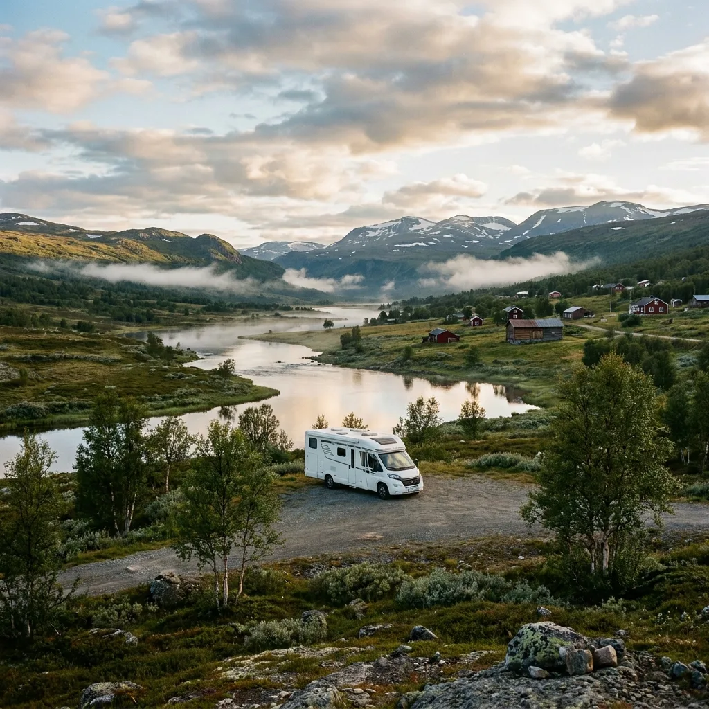
Hemavan and Tärnaby are located near the Norwegian border in Vindelfjällen, Europe's largest nature reserve: barren mountain peaks, birch forest, and a valley where Ingemar Stenmark learned to ski, to which the village museum dedicates ample attention. The Hemavan cable car takes you in summer to the starting point of the Kungsleden, with views over the highlands into Norway. The campsites are located along the main road with mountain views; this is also the place to refuel for the Vildmarksvägen.
Stop 10
Trappstegsforsen
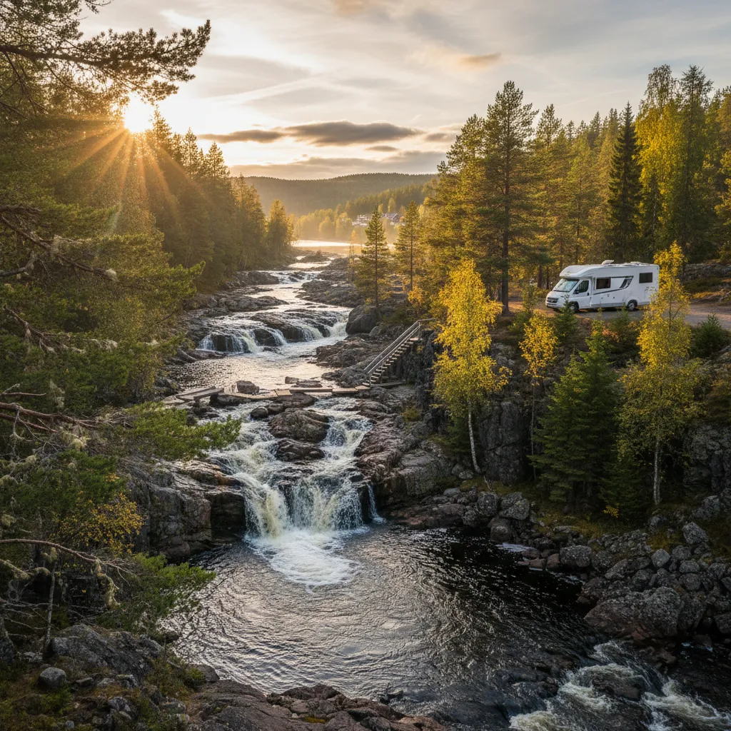
Trappstegsforsen offers a photogenic spectacle of water flowing in wide steps over flat rock formations. From the viewing platform, located directly by the road, you can take beautiful photos of the natural steps. The rushing water is at its fullest, especially in June when the meltwater peak arrives, creating a lively ambiance. For those who wish to stay longer, there is a campsite directly by the water; nearby villages like Saxnäs and Klimpfjäll offer the necessary amenities.
Stop 11
Strömsund
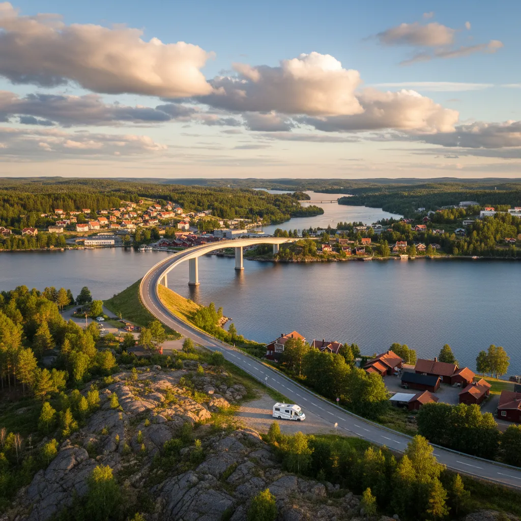
The Strömsundsbron, a striking suspension bridge from 1956, divides Strömsund in two, situated on an isthmus between two lakes. Here you can replenish your supplies and have your motorhome checked. The Ströms Hembygdsgård museum tells about the life of forest workers and log drivers. For a wilderness experience, visit the Böda Bävercentrum, where you can learn more about beavers. The waterfront campsite by the bridge offers a peaceful spot with views of the village.
Stop 12
Höga Kusten
The Höga Kusten (High Coast) is the result of the fastest land uplift in the world: since the ice cap melted, the land here has risen eight hundred meters, and it continues to do so by almost a centimetre per year. The result is on the UNESCO list: forested hills that drop steeply into the sea, ancient beach ridges high on the slopes, and fishing villages in the bays. The suspension bridge over the Ångermanälven, the view from Skuleberget with its via ferrata, and the red fishing cottages of Norrfällsviken and Bönhamn are close to each other. The campsites are located on the coast near Docksta and Ullånger.
Ready to hit the road?
We'll email you a personal travel proposal within 24 hours — motorhome, route and full cost overview included. Save €400–€800 on average vs. a travel agency.
No packages, no middlemen. Learn how it works
Camproads gave me a lot of inspiration for our campervan trip. The routes are beautiful, with a good balance of nature and city life, and the route generator made planning super easy. It's also really handy that there are so many good camping options at the locations, and that you can easily find the campervan that suits your needs and compare prices. This way, we can plan everything ourselves and book the campervan directly with the rental company. That's much cheaper than an organized trip!
Michiel van de Bunt
February 2026
What a difference from how I used to plan trips. Through Camproads, I put together a complete campervan trip in just a few minutes. It's so easy to use, and you can customize everything to your liking. The ability to choose your travel pace makes it even more enjoyable, especially now that we're traveling with a baby for the first time.
Alieke Zelhorst
February 2026